Mapping the Feke
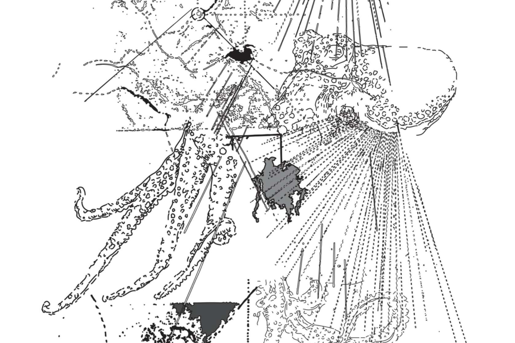
Maps offer a great insight into our places. If we were able to channel this language we would be able to understand the narratives of our worlds and the realms of our stories.


Maps offer a great insight into our places. If we were able to channel this language we would be able to understand the narratives of our worlds and the realms of our stories.
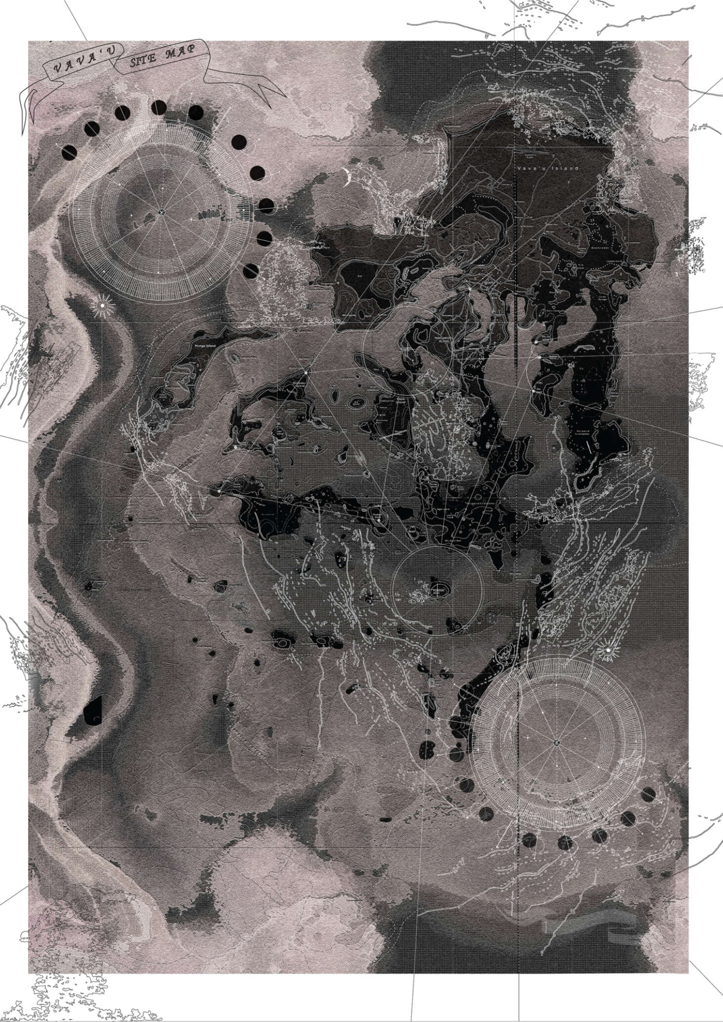
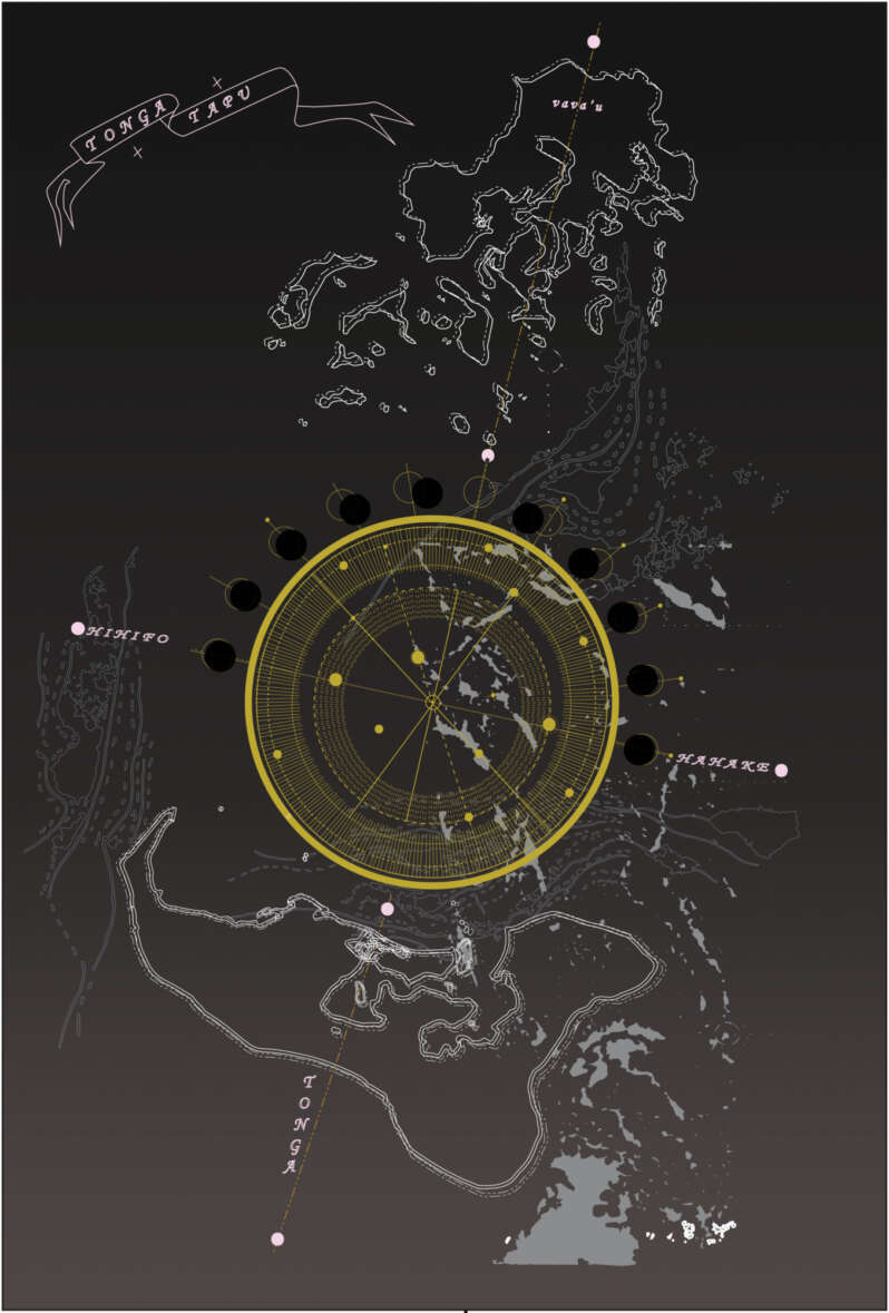
For we Polynesians, our intrigue into finding new places and discovering them fortuitously has been an attribute engraved into our nature. With the lust of the journey coaxing us into foreign territories, one aspect remains true in every turn: the environment we are in search of.
In this project, mapping takes up the spirit of rebellion through the indigenous lens. It immerses itself into the stories of the invisible few - the everyday people of the Pacific. It celebrates and encourages revisions of cartographic elements because in this pursuit it is about reclaiming new positions, and discovering and cultivating new realities to reflect the richness of our culture.
Located far north of Tongatapu resides Vava’u, an island that hosts its very own archipelago, nicknamed the ‘Feke’, meaning Octopus. With arms outstretched into the ocean, nestled and scattered in front are a litter of smaller islands. Vava’u is the very depiction of Epeli Hau'ofa’s ‘Sea of islands’. With the expansive Pacific Ocean right outside their shores, the spirit of the journey on land and in water is activated every day.
As the map of Vava’u becomes revised through the Indigenous lens, the architecture shifts into one immersed and attuned to the environment. It thus becomes representative of the elemental conditions, being the sky, land and sea.

The programme established is a meeting at a fakataha where professionals, enthusiasts and locals can converge for a month in September. Here they immerse themselves into indigenous history and culture where they can learn, while voyaging around Vava’u’s archipelago.
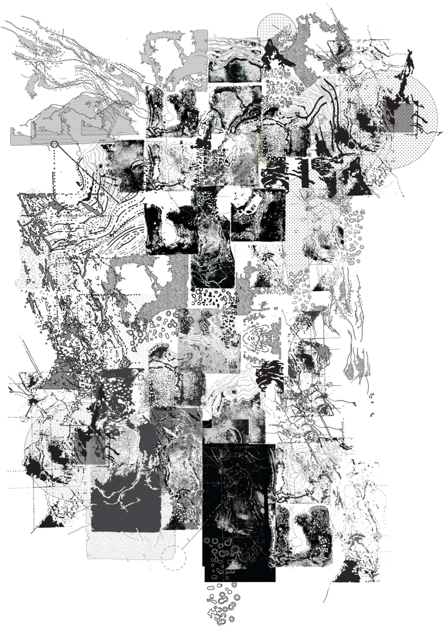
The island is a compilation of its moving parts. The ocean is not where boundaries end, but instead where they begin. It demonstrates the holistic connection the people have to their land and the ancestral knowledge of anchoring oneself back onto one's course using the stars; it is establishing the inter-disciplinary role that mapping plays within architecture and planning. Its position is one of great importance within its field, but the capacity in which it is being used undermines the potential it holds. Its role precipitates from the creative and scientific, and this flexibility warrants a proliferation of vast possibilities. It draws from the finding as well as the founding, which enables the ingress into worlds invisible to the conventional processes of today.
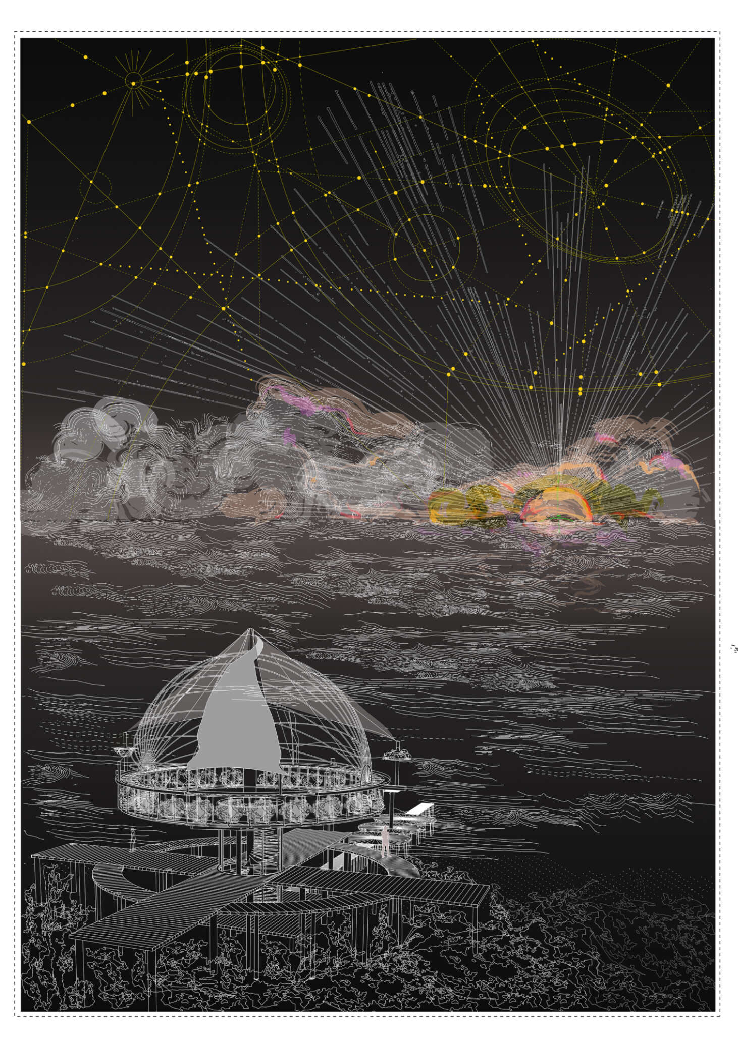
Within this project, maps helped to uncover the narrative displaying the interconnectedness of the people and their place within the Pacific. By celebrating the cultural richness of its identity, dispelling the notion of pertaining to the pace of the west, it allowed new projected imaginings that empower, as opposed to depreciate its difference to convention. Architecture provides permanence by activating the ground upon which we reside: ground, sky and ocean being the universal story we share.